What a geotechnical report under NP 074-2022 contains
How the geotechnical category and investigation programme are set, and what information the report provides for structural design.
RC GEOPROIECT provides integrated geotechnical engineering services: site investigation, testing in our own ISC-authorised laboratory, geotechnical reports and design, and technical expertise and design checking for the Af and Ag requirements.
We correlate field and laboratory data with engineering analysis to substantiate solutions tailored to each site and each structure, from planning the investigation to site support and long-term monitoring of behaviour.
Sample geotechnical borehole log, schematic only. It does not show real results for any site and does not replace a geotechnical investigation for your project.
Over 15 years of professional experience in geotechnical engineering and special foundations
From ground characterisation and geotechnical parameters to design, expert assessment and monitoring, we match every stage to the real requirements of the project.
Landslides, slopes, rockfall, buildings affected by differential settlement, historic monuments.
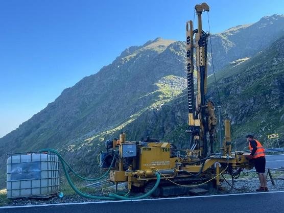
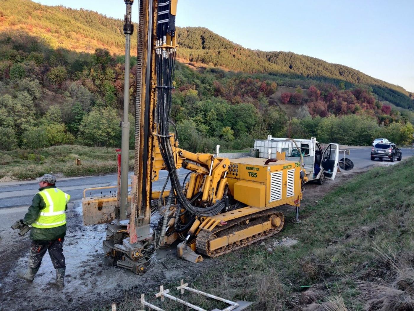
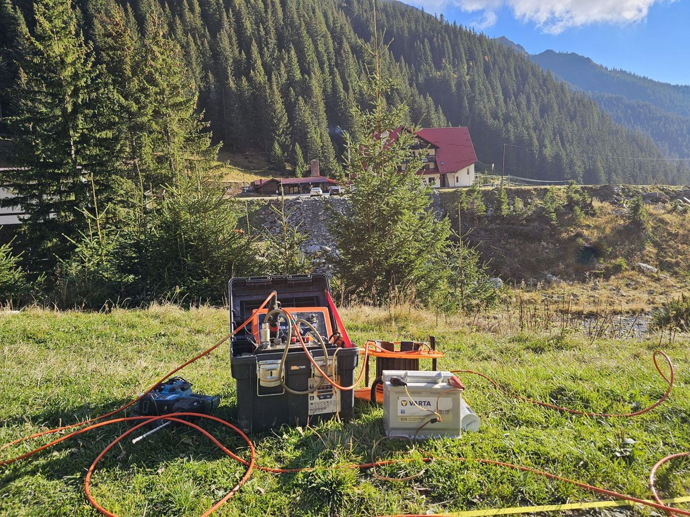
Mechanised boreholes to 100 m, CPT/CPTu/sCPTu, DPH/DPSH, SPT, geophysical surveys and coring, according to the investigation programme set for the project.
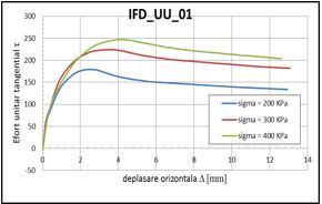
Physical and mechanical tests on soil samples, including direct shear, triaxial shear and oedometer compressibility, in our own ISC-authorised laboratory, GTF and D profiles.
Assessing foundation conditions and ground stability for civil buildings, transport infrastructure, wind farms and sites affected by landslides.
Special foundations, deep excavations, retaining and stabilisation works, ground improvement, for civil buildings and infrastructure works.
Checking documents for the Af and Ag requirements, by certified specialists.
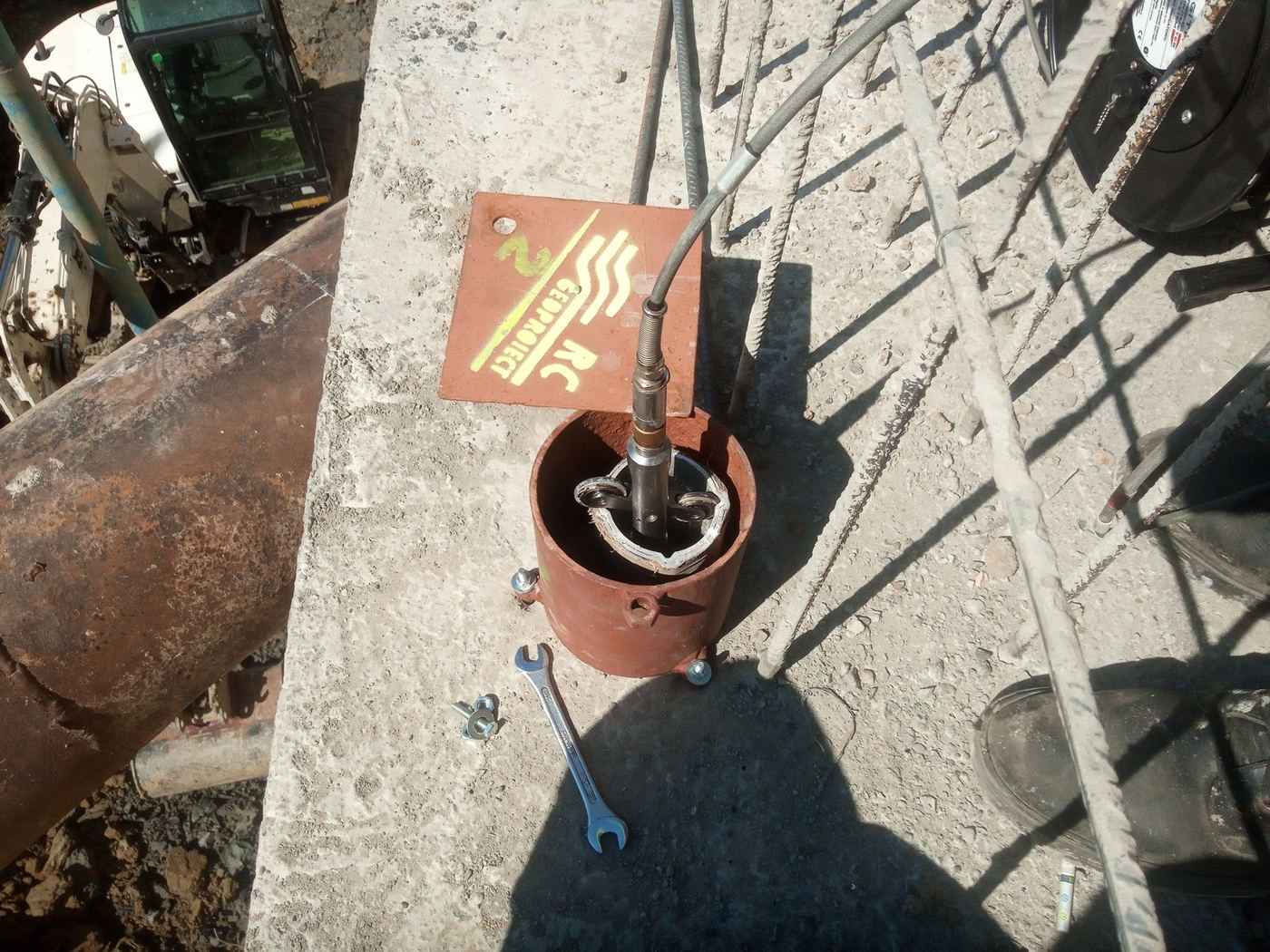
Monitoring designs and inclinometer, piezometer and survey measurements for excavations, slopes, piles and stabilisation works, with interpretation of the results and monitoring reports.
Specialist support on foundation ground issues and on applying geotechnical solutions during construction.

PhD in geotechnical engineering.
PhD in geotechnical engineering.
Our portfolio includes investigations for wind farms, deep excavation designs, slope assessments and stabilisation works. Each example states the services RC GEOPROIECT provided and the relevant technical data.
Academic training shows in every project
A note of gratitude, 85 years on from FCI Iași. For us, the 85th anniversary of the Faculty of Civil Engineering and Building Services in Iași is a moment of gratitude to the school where we trained. From bachelor's and master's to doctoral studies, our academic path is closely tied to this faculty and to the professors who guided our first steps in the profession.
RC GEOPROIECT SRL is a company specialising in geotechnics and foundations, based in Miroslava, Iași County. We carry out geotechnical investigations, reports, expert assessments and designs for new and existing buildings, transport infrastructure and renewable energy.
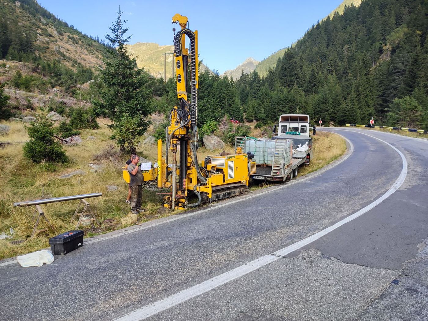
For each project, the investigation and its interpretation are set according to the objective, ground conditions and required documentation. Test and investigation results support the analysis, design and technical recommendations, within the limits of the available data and contracted responsibilities.
We link field work with laboratory work and with geotechnical analysis and design. This lets us tailor investigations to the problems of each site and follow the data from sampling to the final documents. We also provide design checking, site support during construction and geotechnical monitoring.
Our mission is to give our clients safe solutions based on sound ground investigation. We aim to reduce risk during construction, optimise foundation solutions and contribute to durable, correctly sized projects.
RC GEOPROIECT's vision is to become a reference geotechnical partner for major projects in the region, with a team known for reliability, professionalism and for the way it combines experience with modern technology.
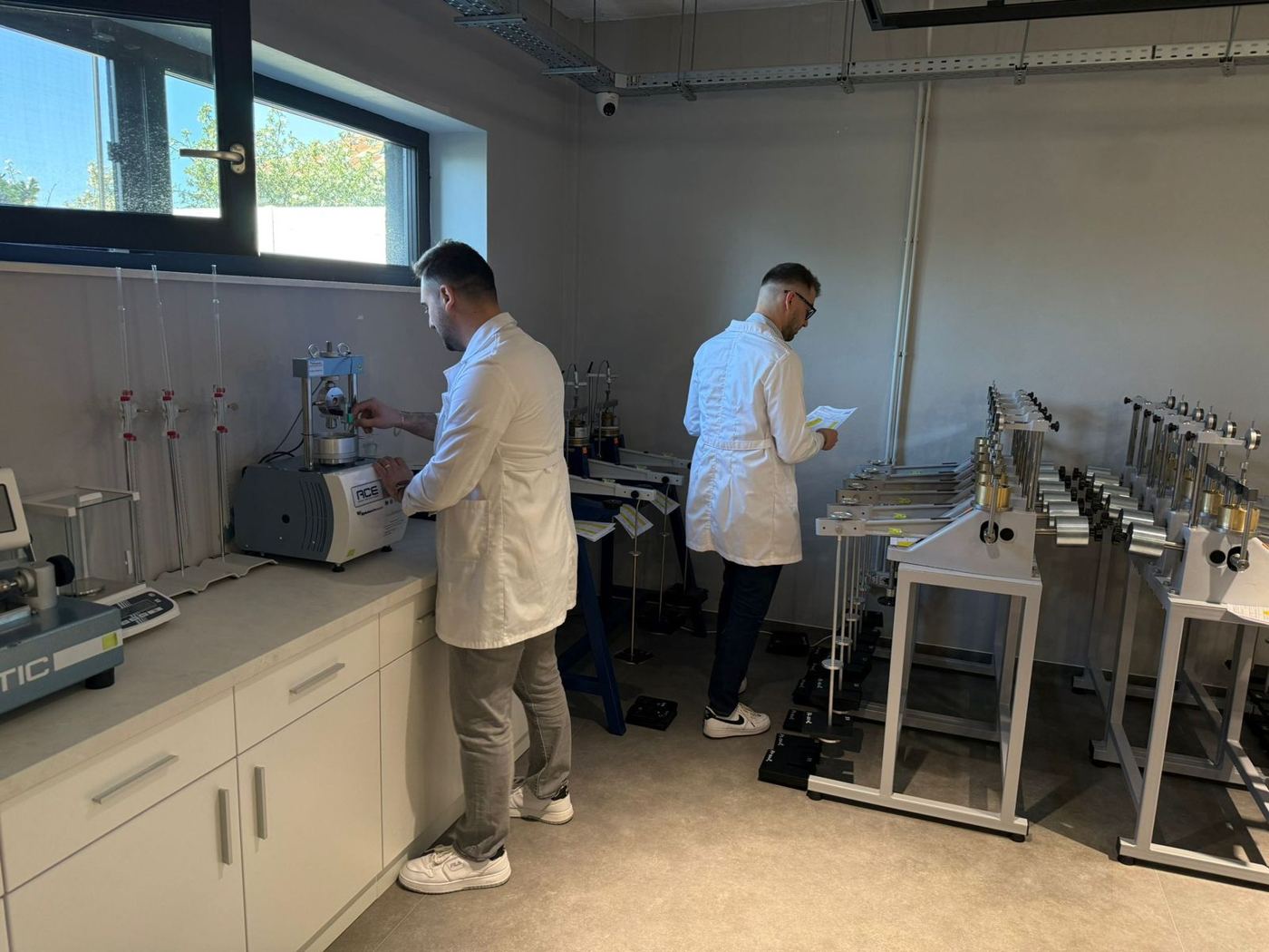
Construction testing laboratory, GTF and D profiles, about 120 m², for determining the physical and mechanical properties of soils.
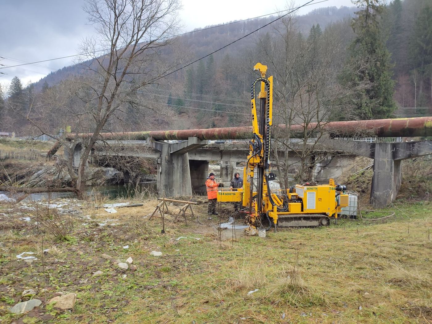
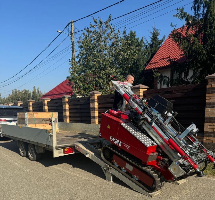
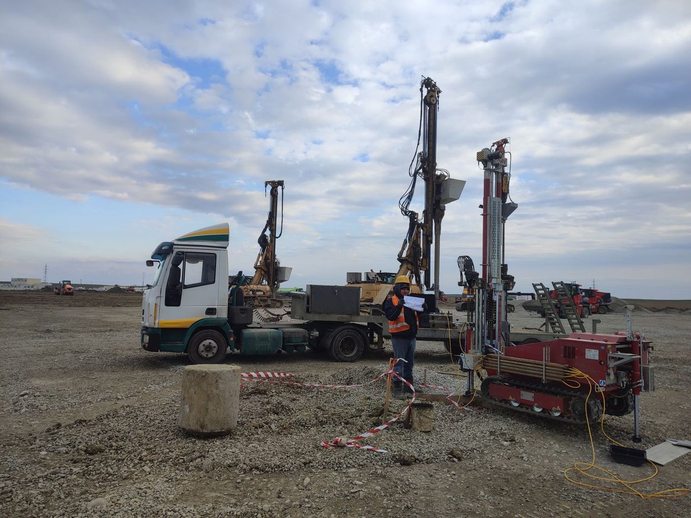
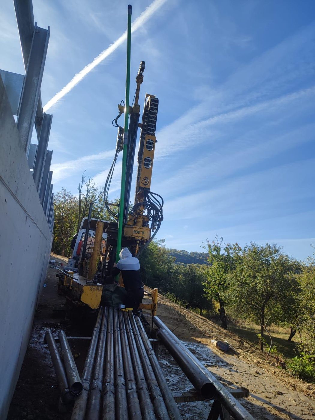
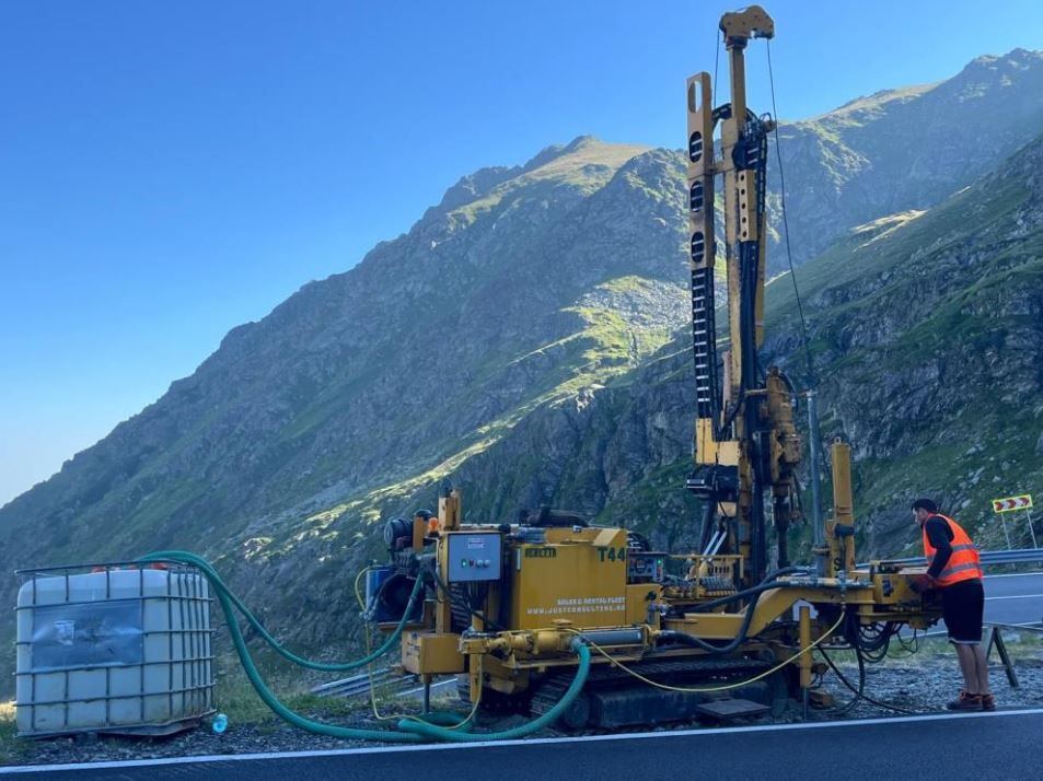
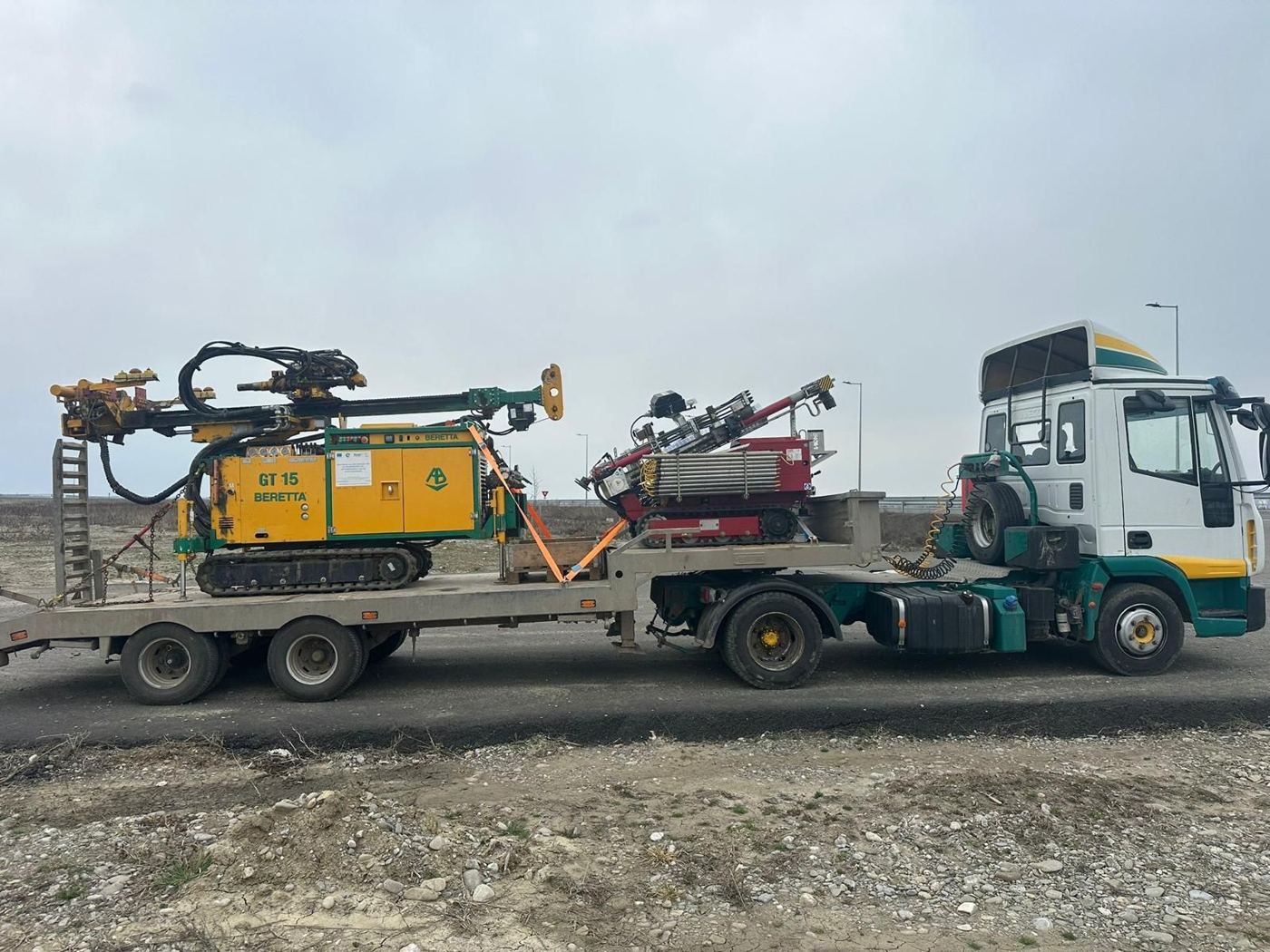
Beretta T44 and GT15 drilling rigs, Pagani TG 63-200 CPT rig, dynamic probes and semi-mechanised augers.
Specialists certified for the Af and Ag requirements, each acting within their certification.
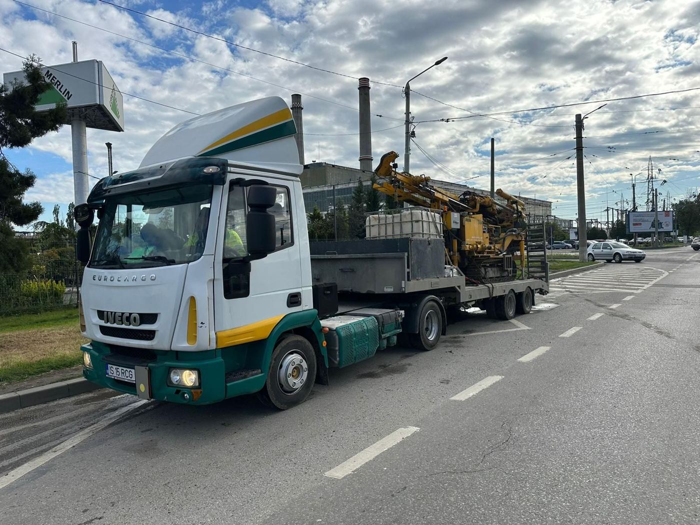
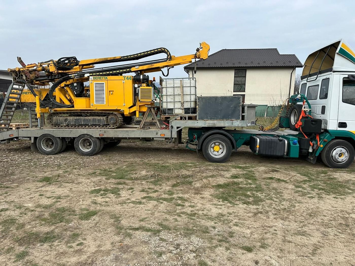
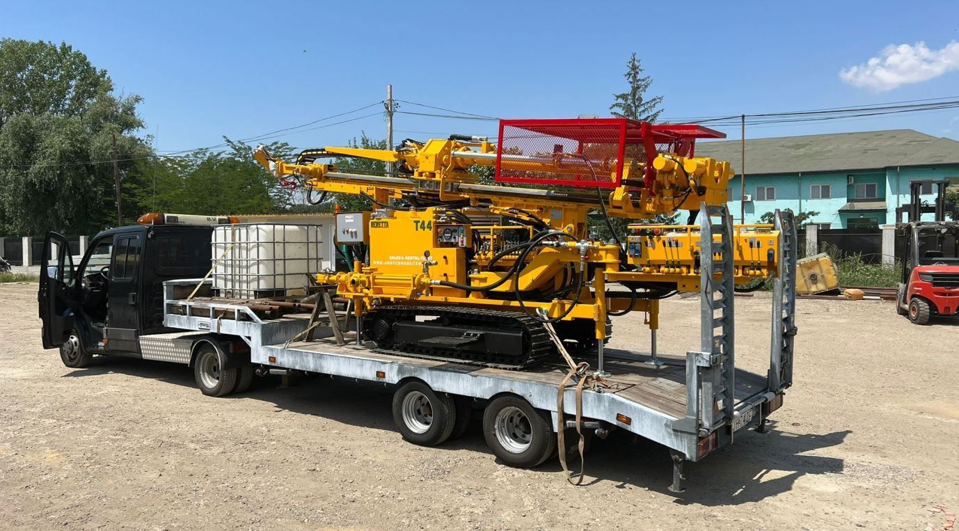
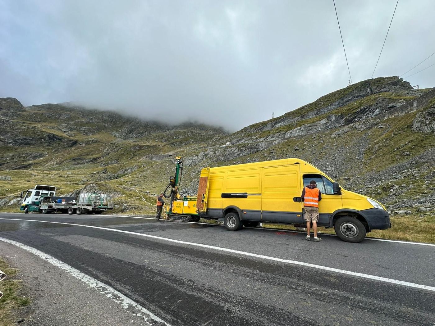
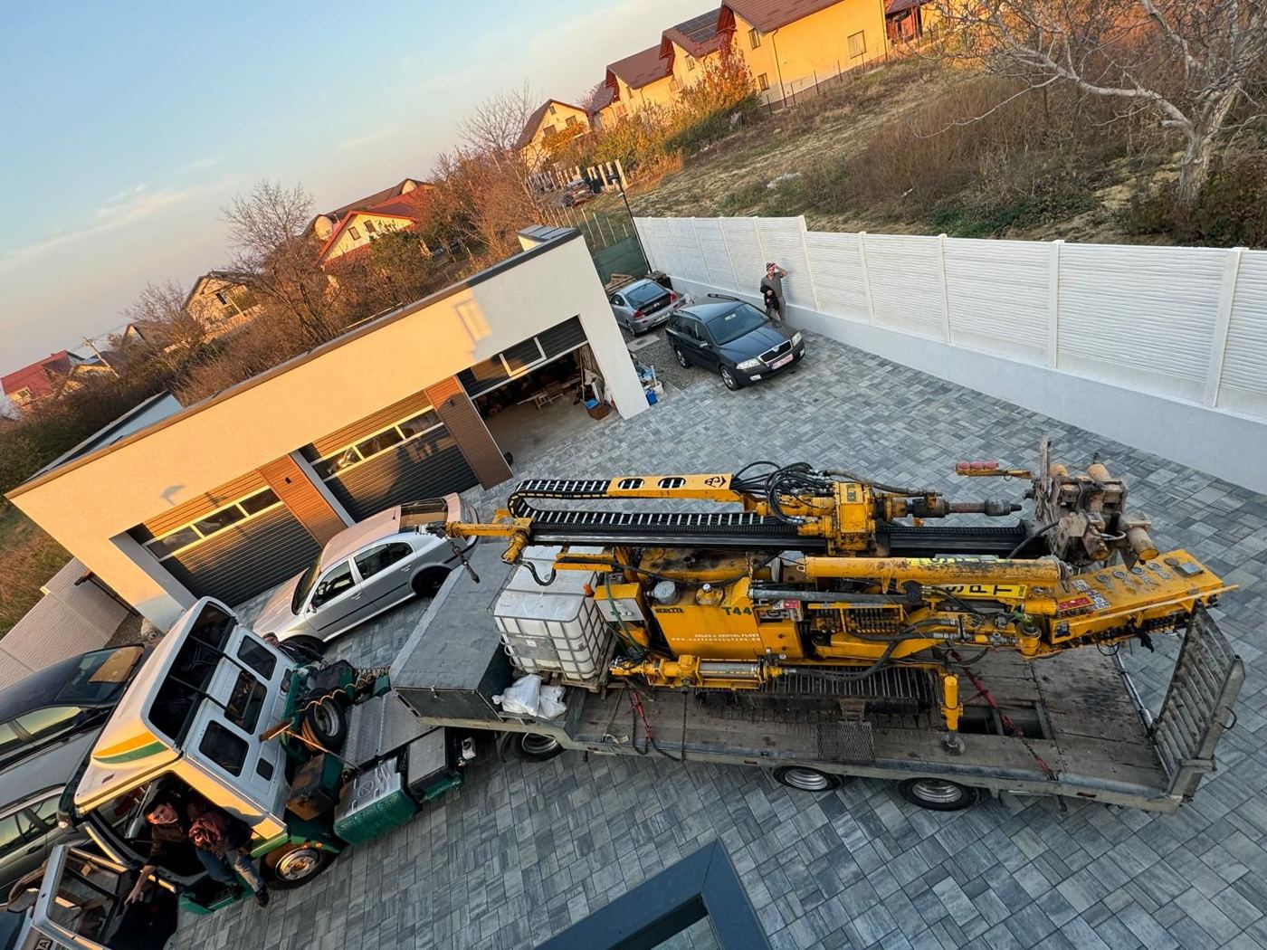
10 t and 18 t transport units and utility vans for mobilising equipment, including to hard-to-reach sites.
Technical coordination is provided by specialists with doctoral training in geotechnical engineering, certified for design checking and technical expertise.
PhD in geotechnical engineering.
PhD in geotechnical engineering.
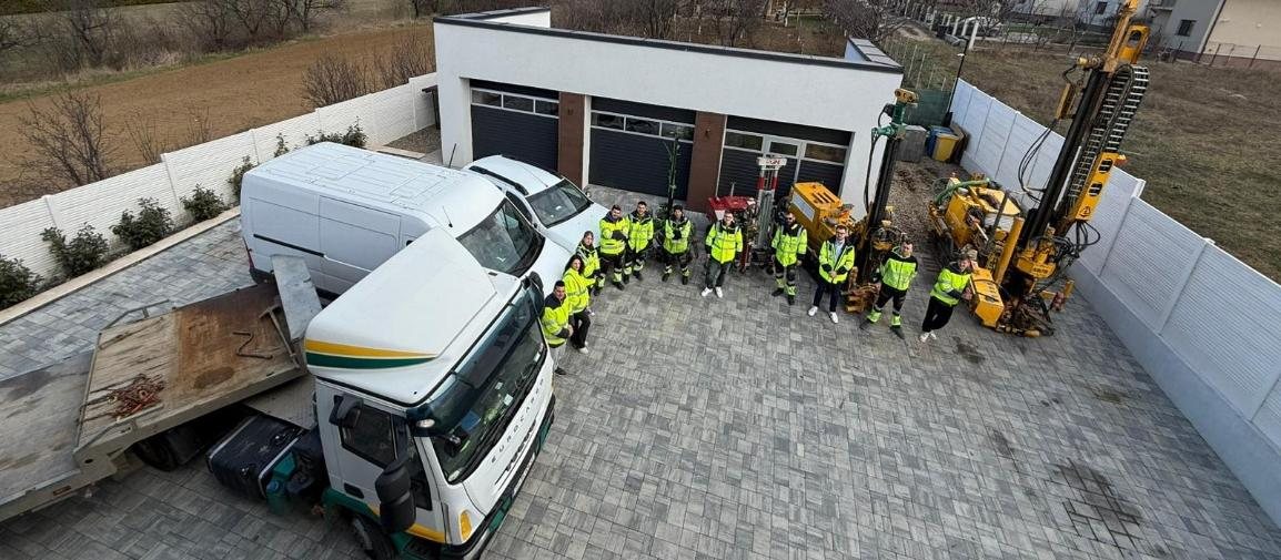
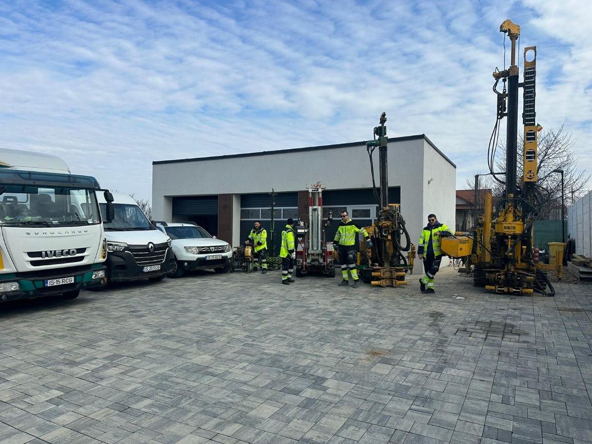
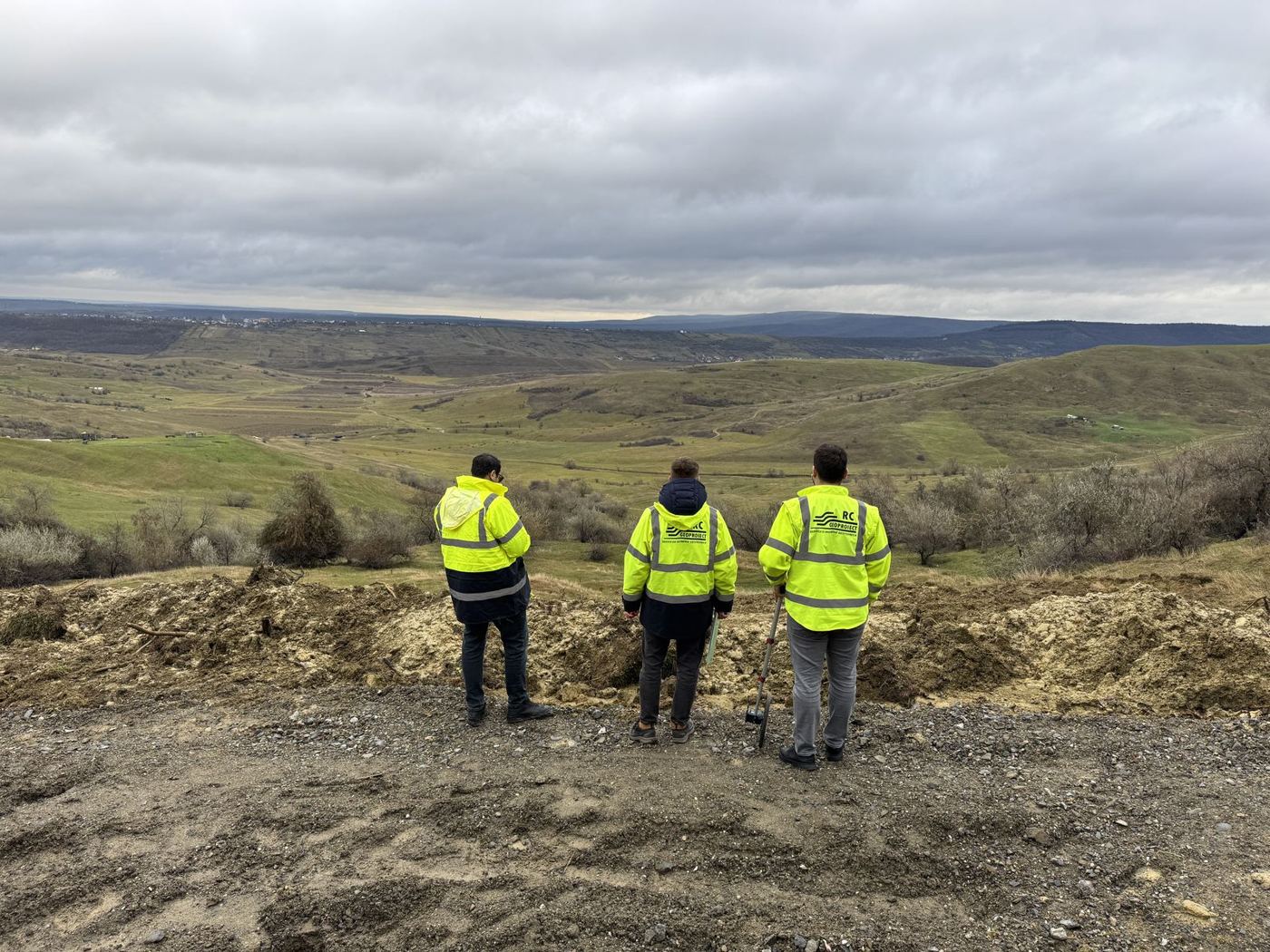
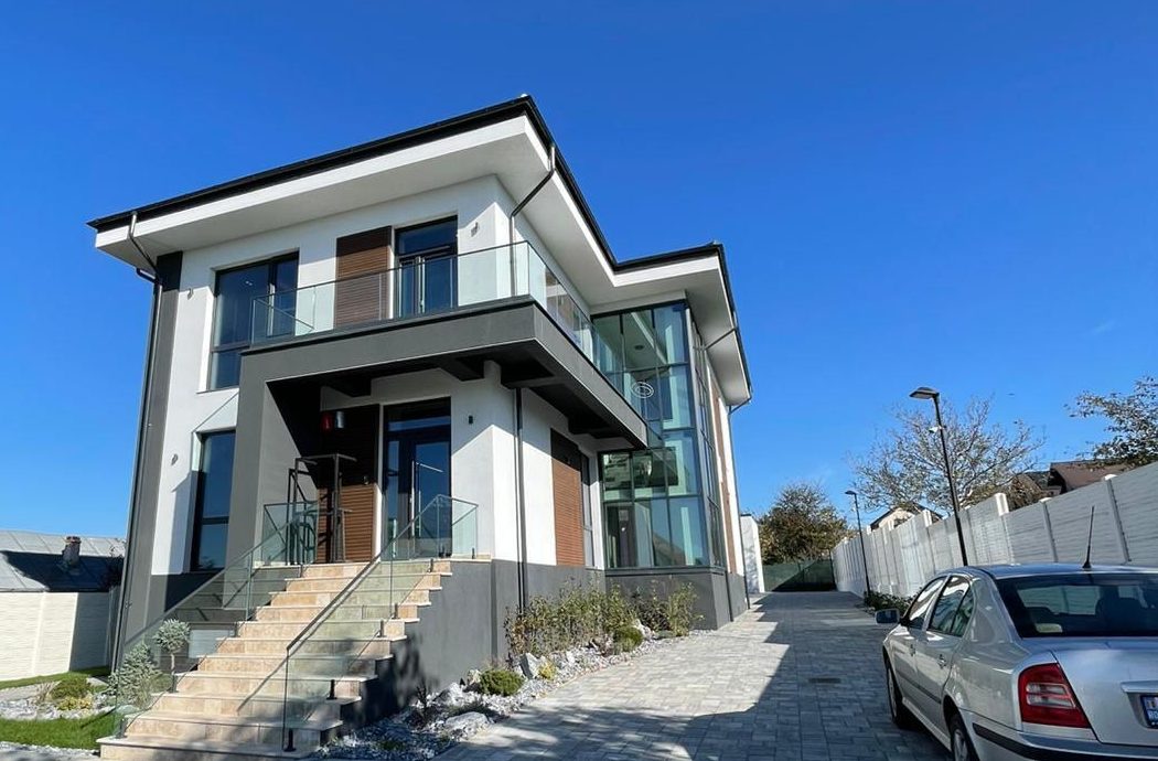
We bring together skills in investigation, testing, analysis and geotechnical documentation. The team is put together to suit each job.
We work with:
Conferences, placements and courses complement the team's university training in geotechnical investigation and design.
Keeping up with construction equipment and technology included a visit to the BAUMA trade fair, Munich, in 2019.
RC GEOPROIECT operates management systems certified to the following standards:
We are members of the following professional associations:

Our end clients include:
Our portfolio includes work in Romania, the Republic of Moldova and Oman. Each project entry states RC GEOPROIECT's contribution: investigation, design, expert assessment, monitoring or site support.
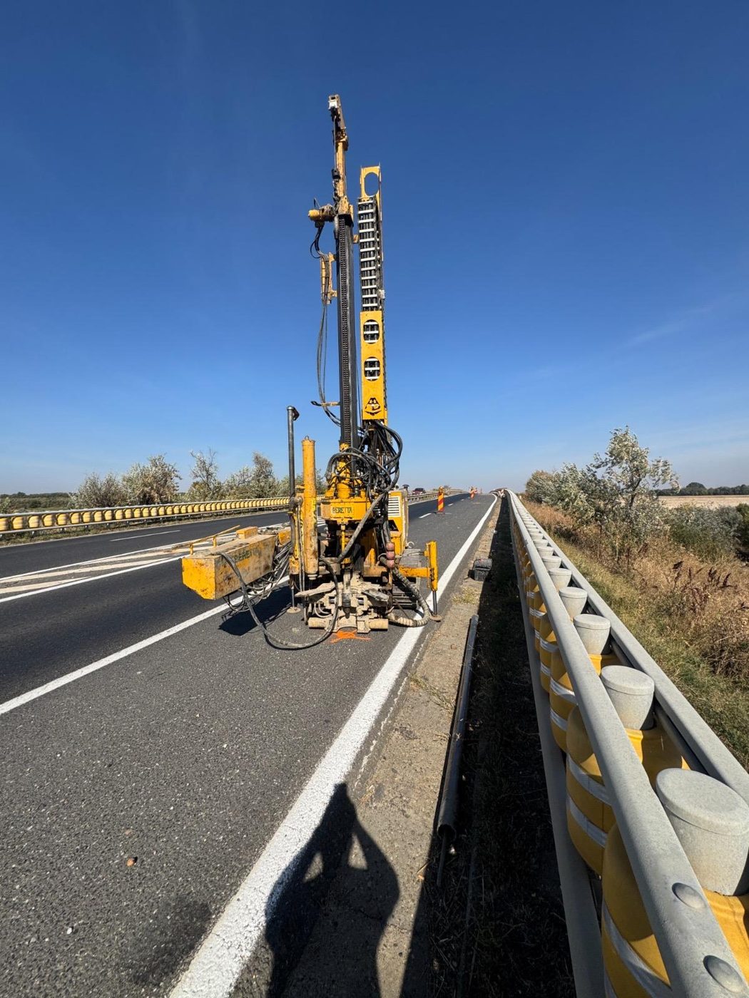
We cover the whole geotechnical chain: site investigation, laboratory testing, geotechnical reports, technical expertise, design of geotechnical works, design checking, consulting and site support.
Over 15 years in geotechnics and foundations and a varied portfolio of projects.
Field and laboratory equipment that lets us carry out complete investigations and deliver results that meet current standards.
No standard reports: recommendations designed for each site and type of structure.
We work to project deadlines, communicate clearly and stay close to the designer and the client.
We aim for both a safe structure and optimised construction costs, through correctly sized solutions.
“We want to be more than a provider of reports for our clients – we want to be their long-term geotechnical partner, involved from the first ideas through to construction.”
Send us the site location, the type of structure, the project stage and the documents available. We clarify the objectives and prepare a quote setting out the services, deliverables and timeline.
Every project starts with understanding the geological and geotechnical conditions and the requirements of the structure. We define the investigation programme, obtain and interpret field and laboratory data, develop geotechnical analyses and solutions, and provide support during implementation, depending on the scope of the contract.
We set the type, location and depth of investigations according to the objective and the geotechnical risks identified.
We carry out boreholes, penetration tests and sampling and, where needed, borehole instrumentation and geophysical surveys.
We determine the physical and mechanical properties of soils in our own authorised laboratory.
We correlate the data and carry out stability, bearing capacity, settlement and other geotechnical checks as required.
We prepare geotechnical reports, designs or technical expert assessments, as the project requires.
We provide technical support during construction and, where needed, monitor the behaviour of the ground and geotechnical structures.
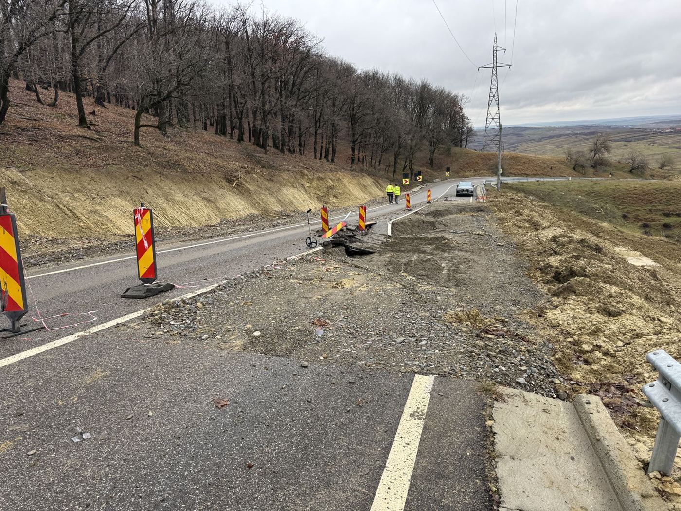
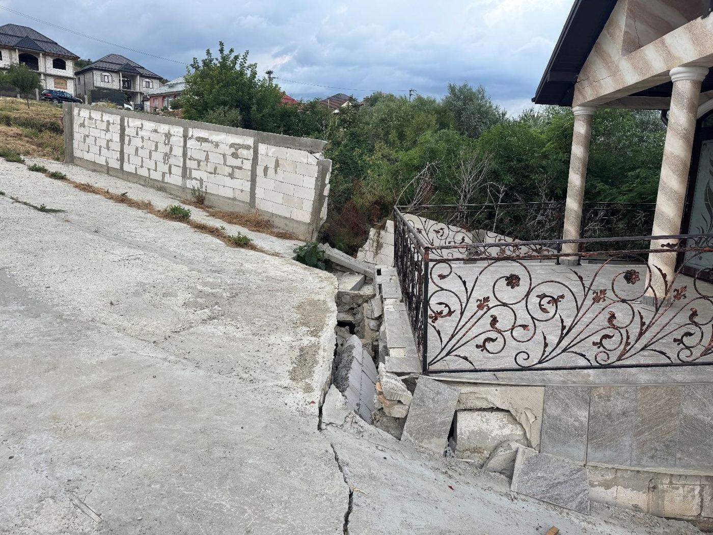
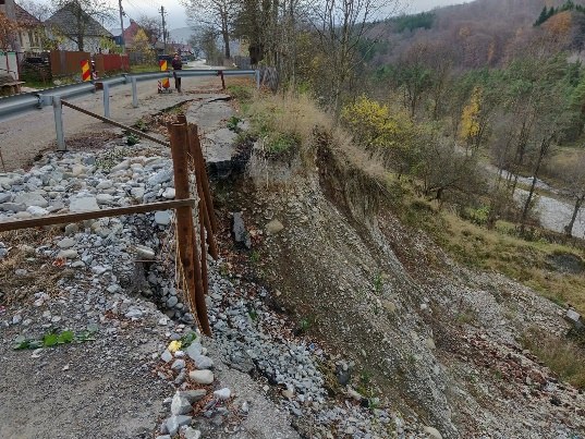
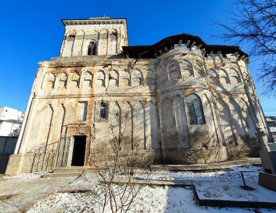
We analyse the causes of instability or damage and substantiate solutions for making safe, remediation or landslide stabilisation, as appropriate.
Expert assessments may cover:
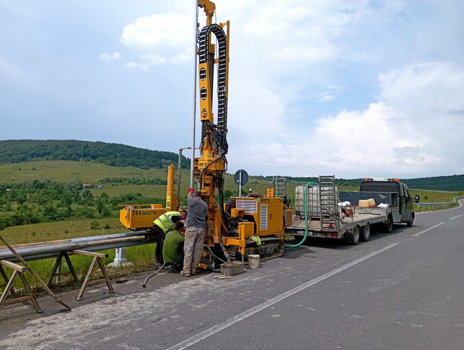
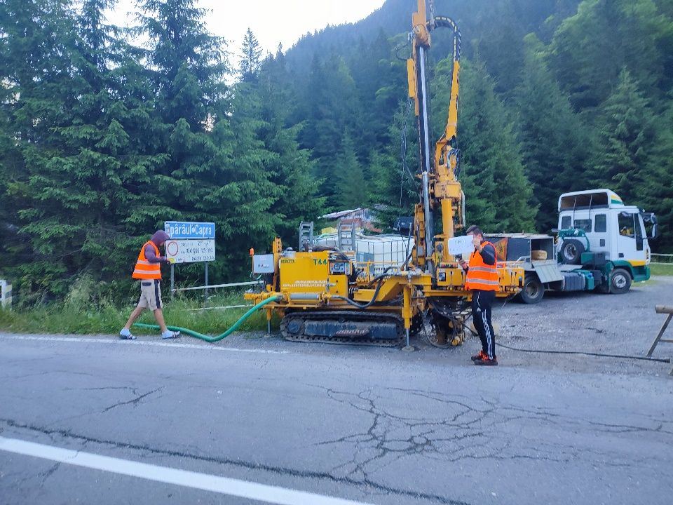
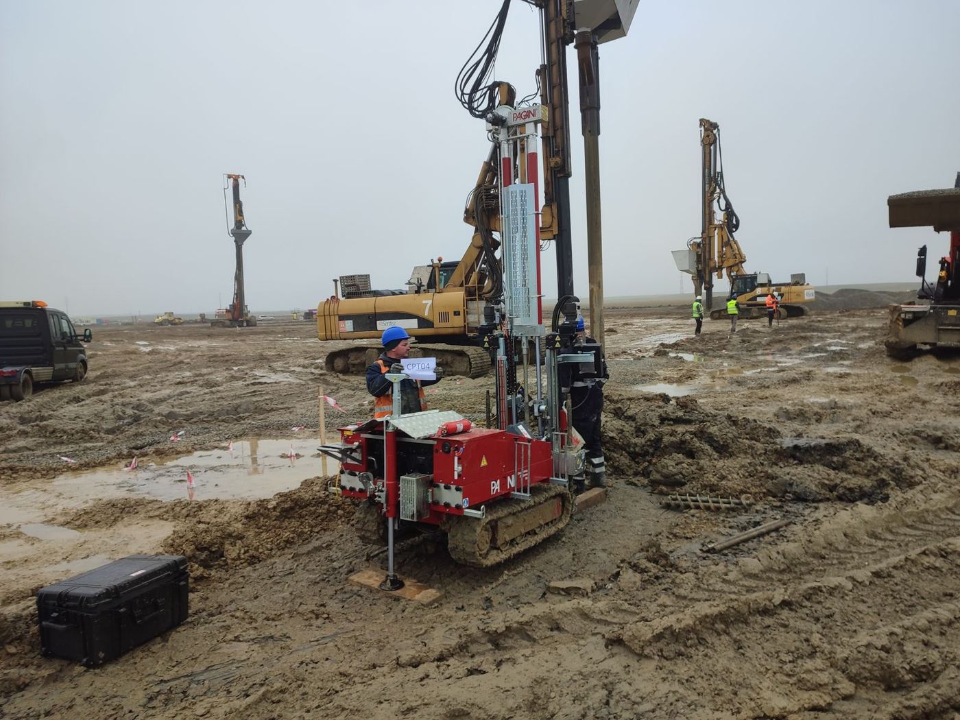
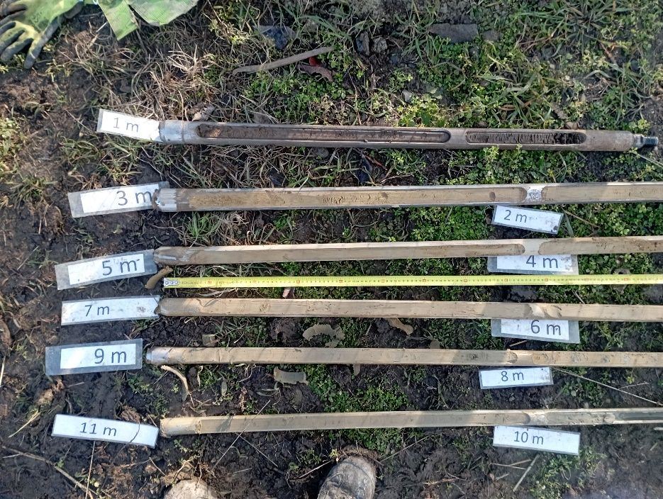
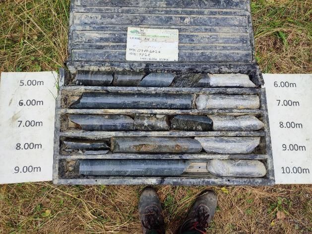
We drill mechanised and semi-mechanised boreholes, including continuous coring and undisturbed sampling, and carry out CPT/CPTu/sCPTu, DPH/DPSH and SPT testing.
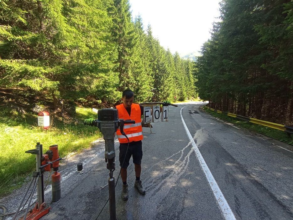
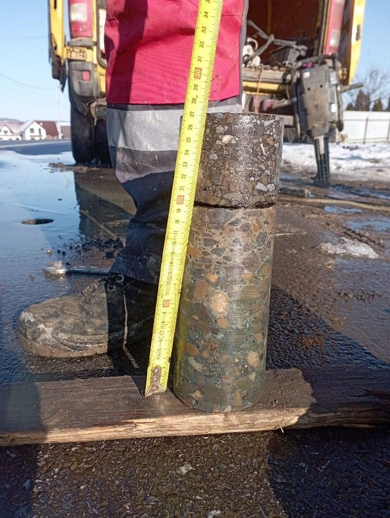
Where needed, we add geophysical surveys, concrete and asphalt coring, or inclinometer and piezometer installation. Our own logistics make it easier to mobilise equipment, including to hard-to-reach sites.
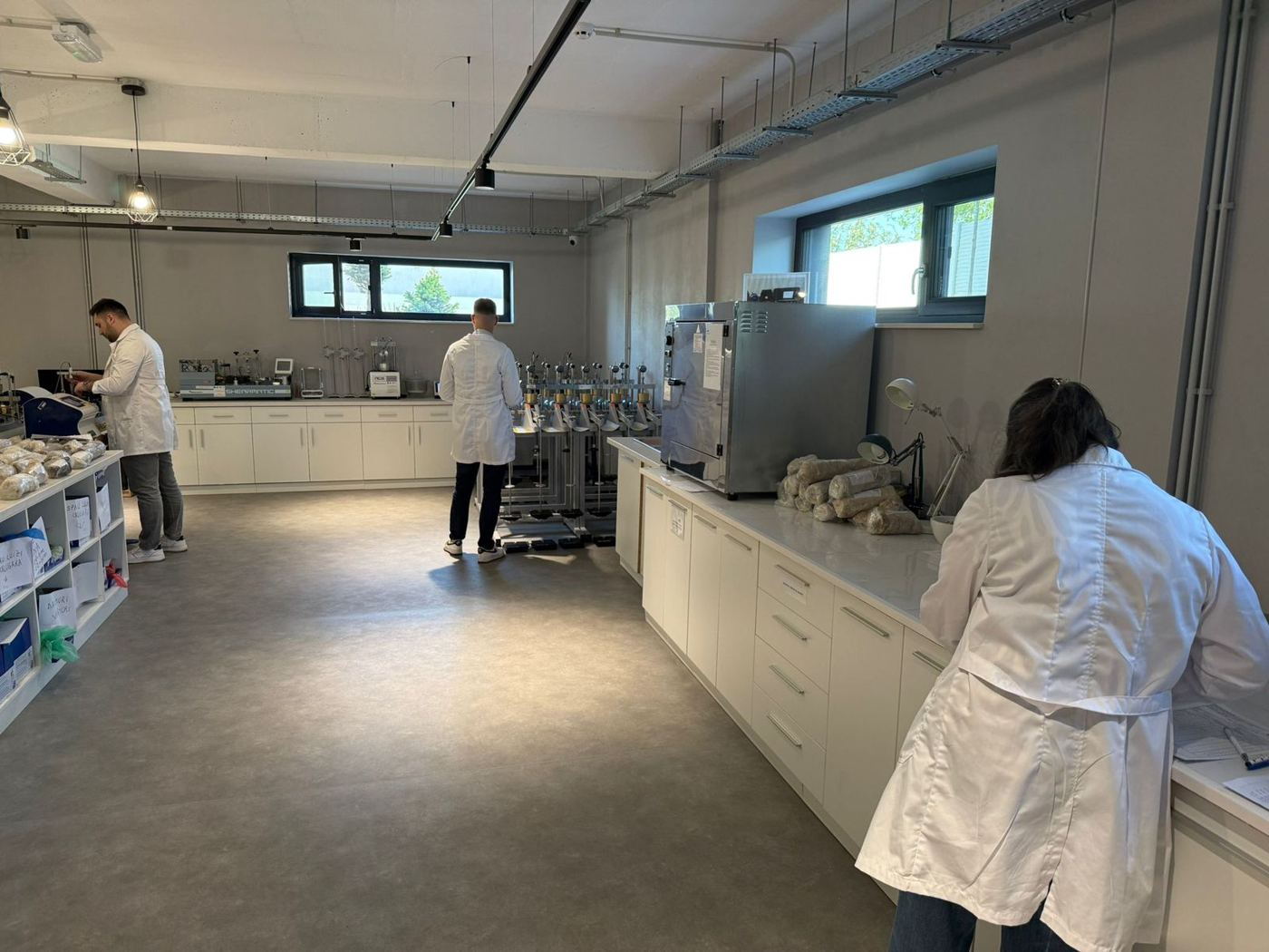
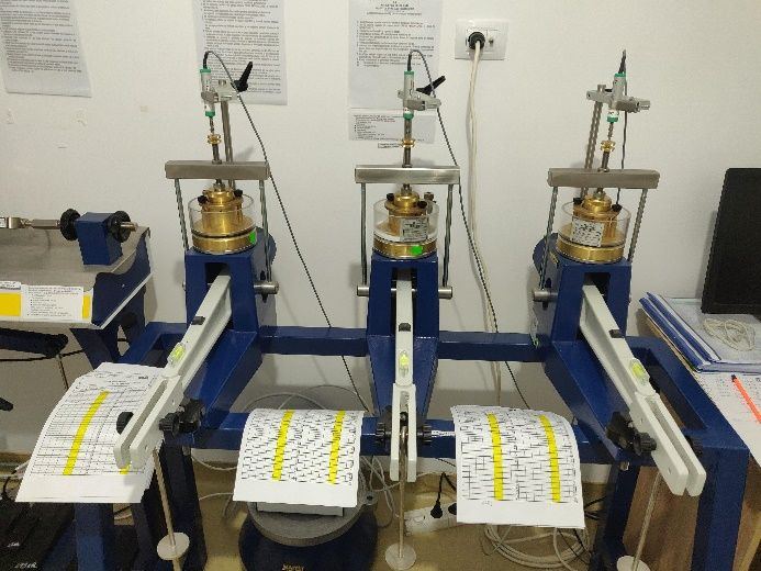
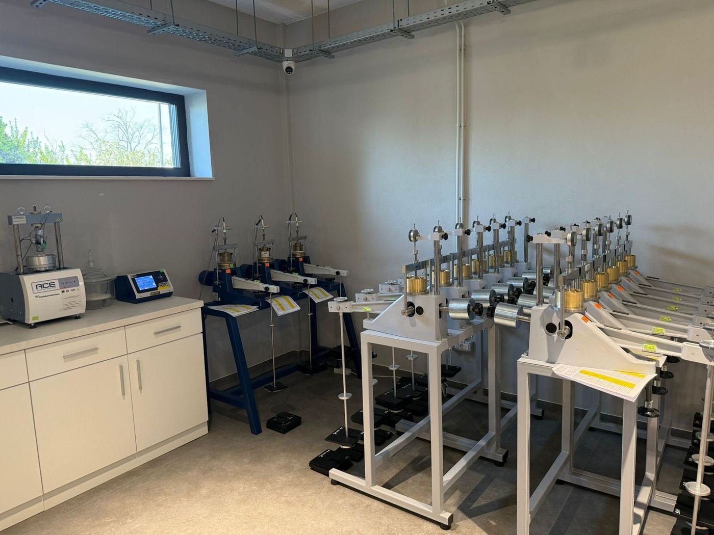
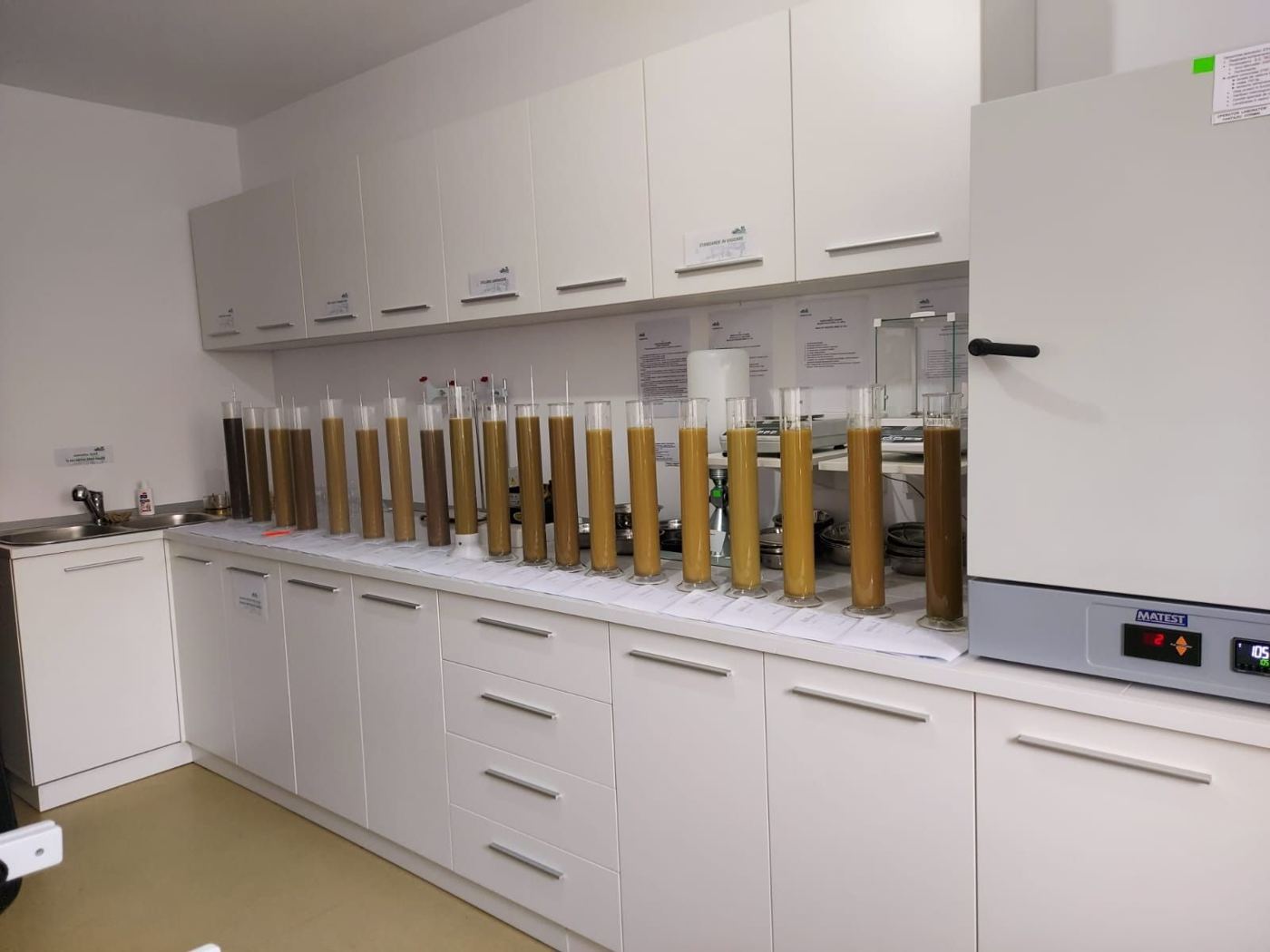
In our own laboratory (GTF and D profiles, about 120 m²), we determine the physical and mechanical properties of soil samples. We correlate the test results with the field investigation for the geotechnical interpretation.
Within the authorised scope, we carry out:
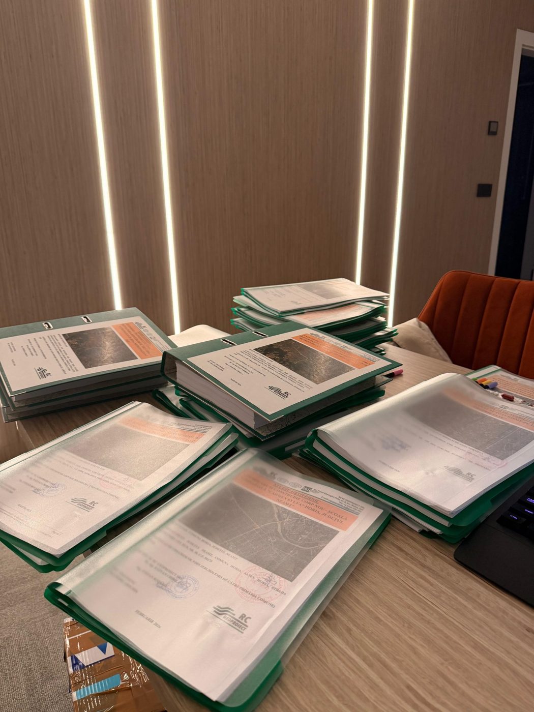
We prepare geotechnical reports for civil, industrial and agricultural buildings, roads, bridges, overpasses, viaducts, tunnels, slopes and wind farms. We set the investigation programme and report content according to the project and site conditions, in line with the applicable regulations.
We correlate field data and laboratory results to characterise the ground and make the recommendations needed for design. Where a site requires a stability assessment, we carry out cross-section analyses for existing conditions and, where appropriate, for the proposed solutions.
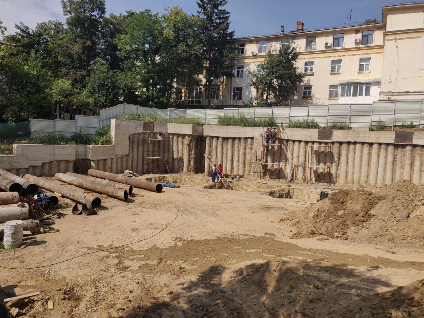
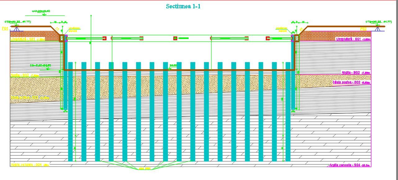
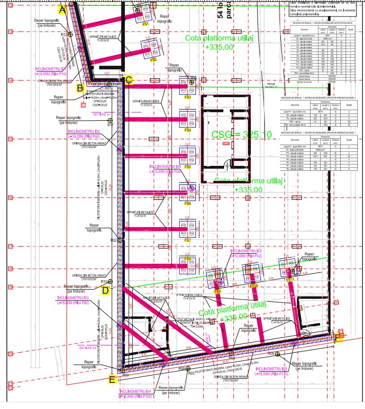
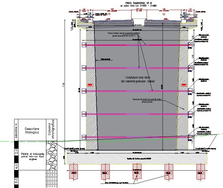
We design foundation, retaining and stabilisation solutions suited to the ground and to neighbouring conditions: bored piles, barrettes, diaphragm walls, deep excavations, walls on piles and micropiles, reinforced soil, anchored systems and drainage.
We carry out analyses for ground improvement, wind turbine foundations and monitoring of geotechnical works. For deep excavations, we pay particular attention to the effect of the excavation on neighbouring buildings.
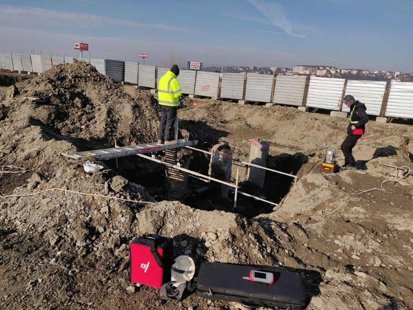
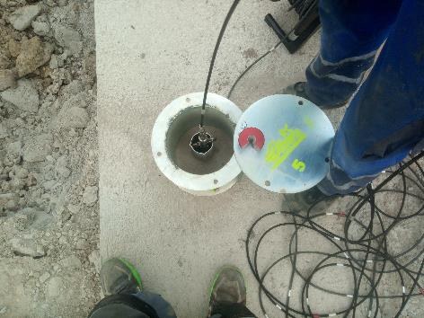
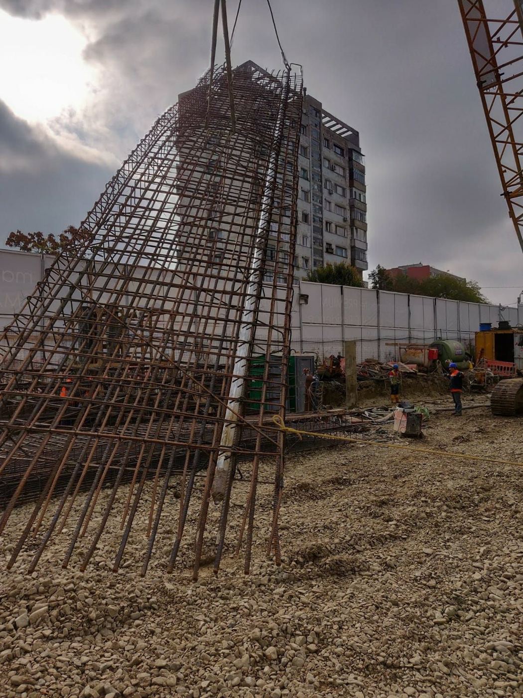
We track displacement and groundwater conditions over time through inclinometer, piezometer and survey measurements. Periodic interpretation of the data supports the assessment of how the ground and geotechnical works behave.
Services may include preparing the monitoring design, installing instruments in boreholes, taking measurements and interpreting the results, as the job requires.
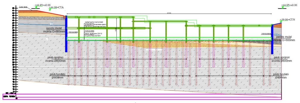
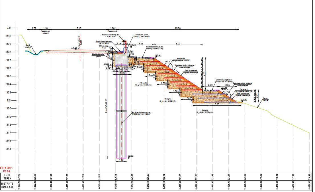
We carry out technical checking for the Af and Ag requirements through certified specialists from our own team, each within their competence and according to the type of document. Through our collaborators, we also provide checking for the A4, B2, D and A1 requirements.
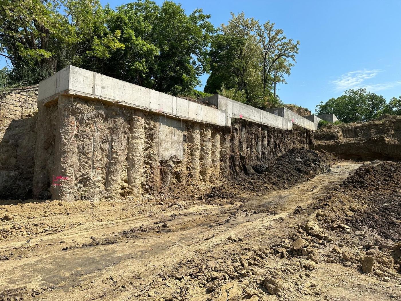
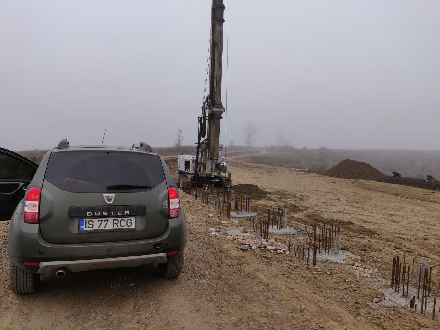
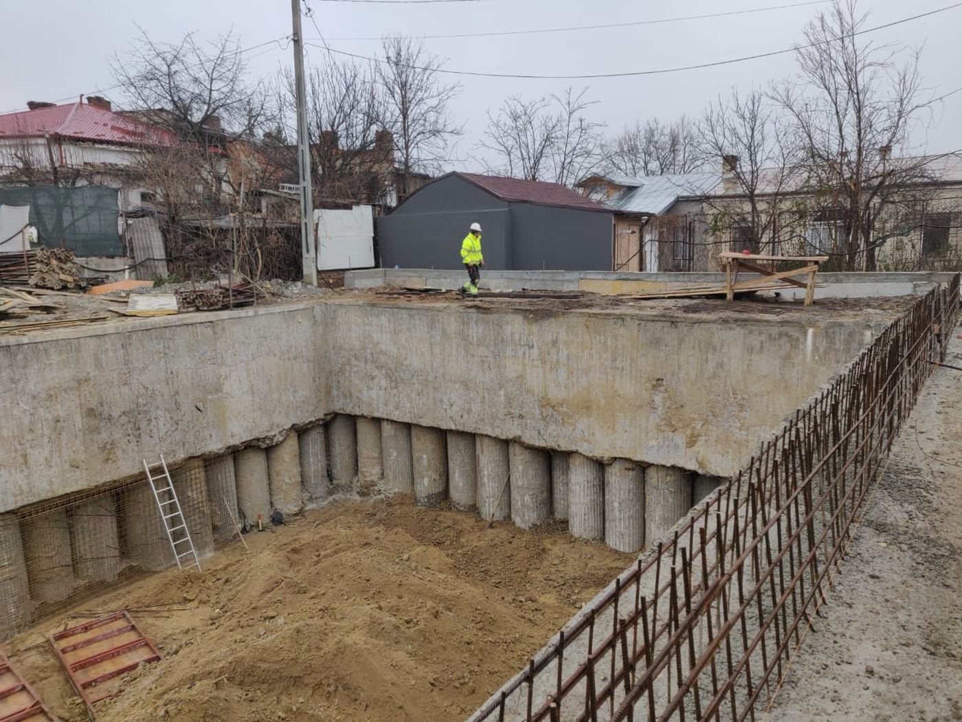
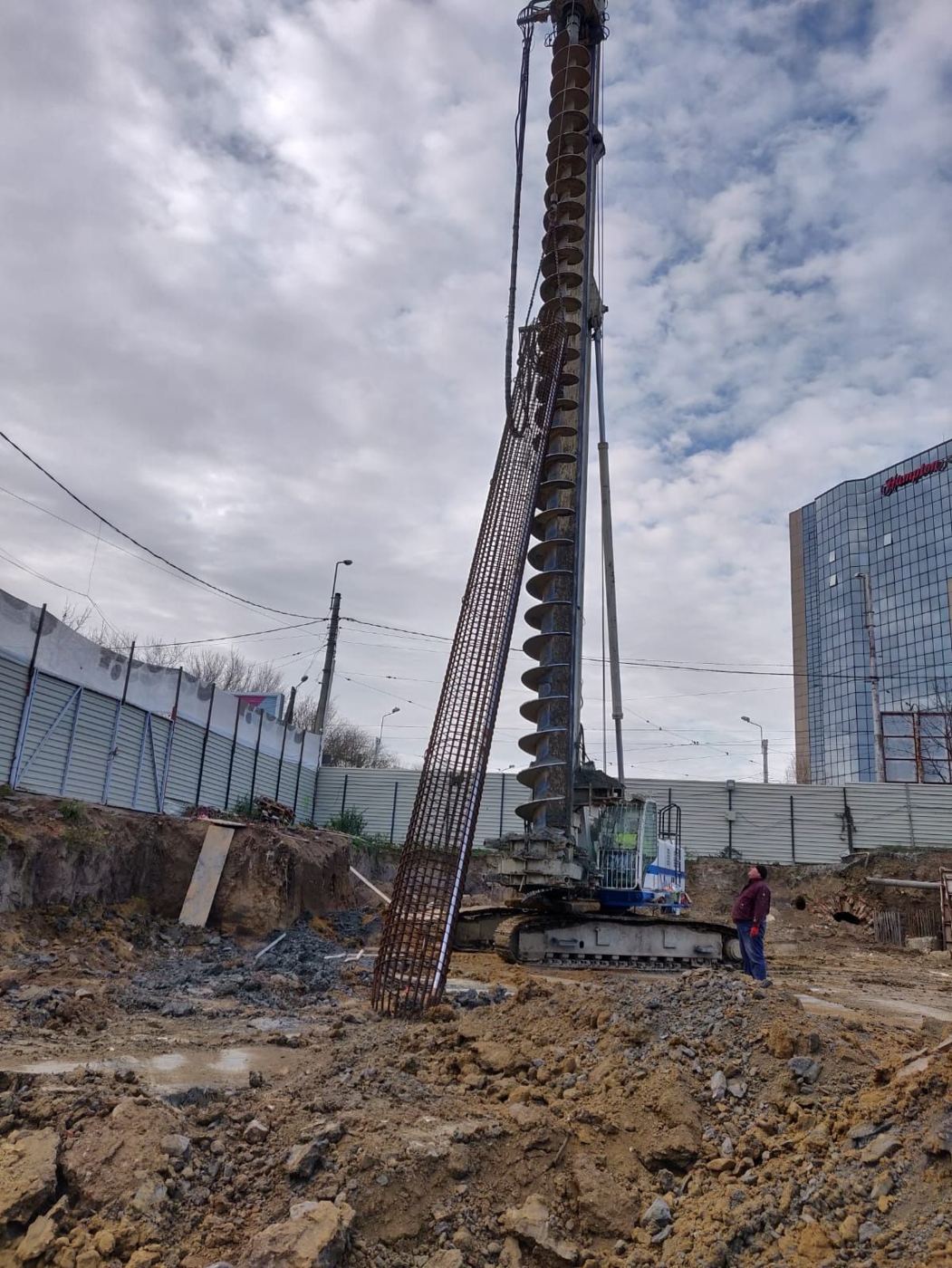
We provide site support during construction and consulting on foundation ground and geotechnical works. We analyse specialist issues that arise on site and help clarify how the designed solutions are applied.
Request a quote for the services your project needs.
We have our own drilling rigs, penetrometers, laboratory and monitoring equipment, and our own means of transporting the rigs. We choose the equipment according to the type of investigation, the depth required and site access.
| Equipment | Use | Capacity | Qty |
|---|---|---|---|
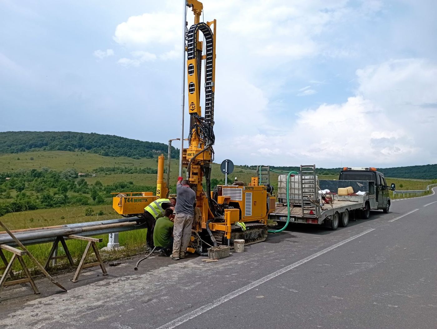
| Beretta T44Accessories: drill rods, bits, Shelby tubes, water pump | Mechanised drilling, continuous coring, SPT | Hmax 100 m | 1 |
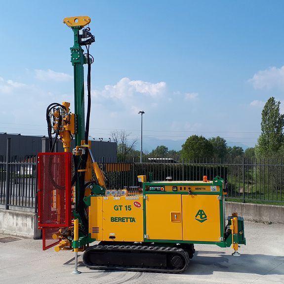
| Beretta GT15Accessories: drill rods, bits, Shelby tubes, water pump | Mechanised drilling, restricted access | Hmax 30 m | 1 |
| Semi-mechanised rigsAccessories: drill rods and bits | Shallow boreholes, disturbed samples | Hmax 15 m | 3 |
| Asphalt / concrete corer | Coring in pavements and concrete elements | – | 2 |
| Equipment | Use | Capacity |
|---|---|---|
| CPT rig Pagani TG 63-200 | CPT · CPTu · sCPTu | 200 kN |
| Dynamic probe | DPH · DPSH | – |
| Geophysical equipment | Geophysical surveys | – |
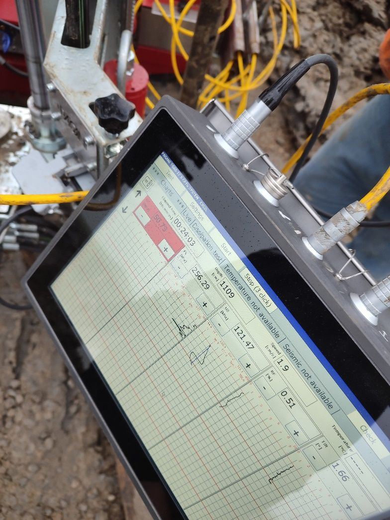
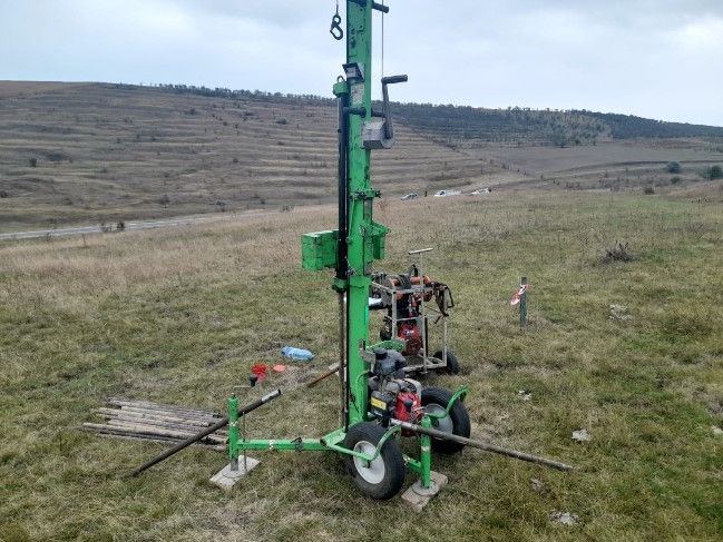
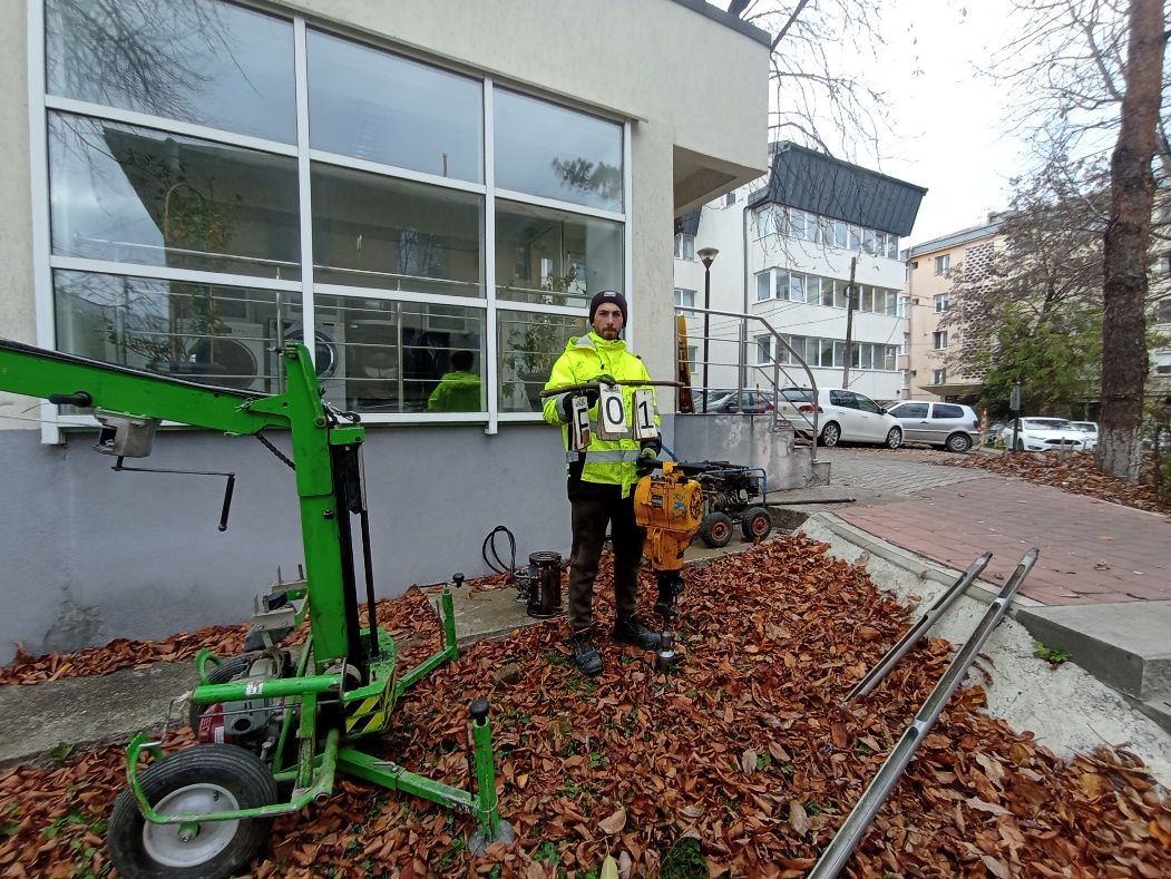
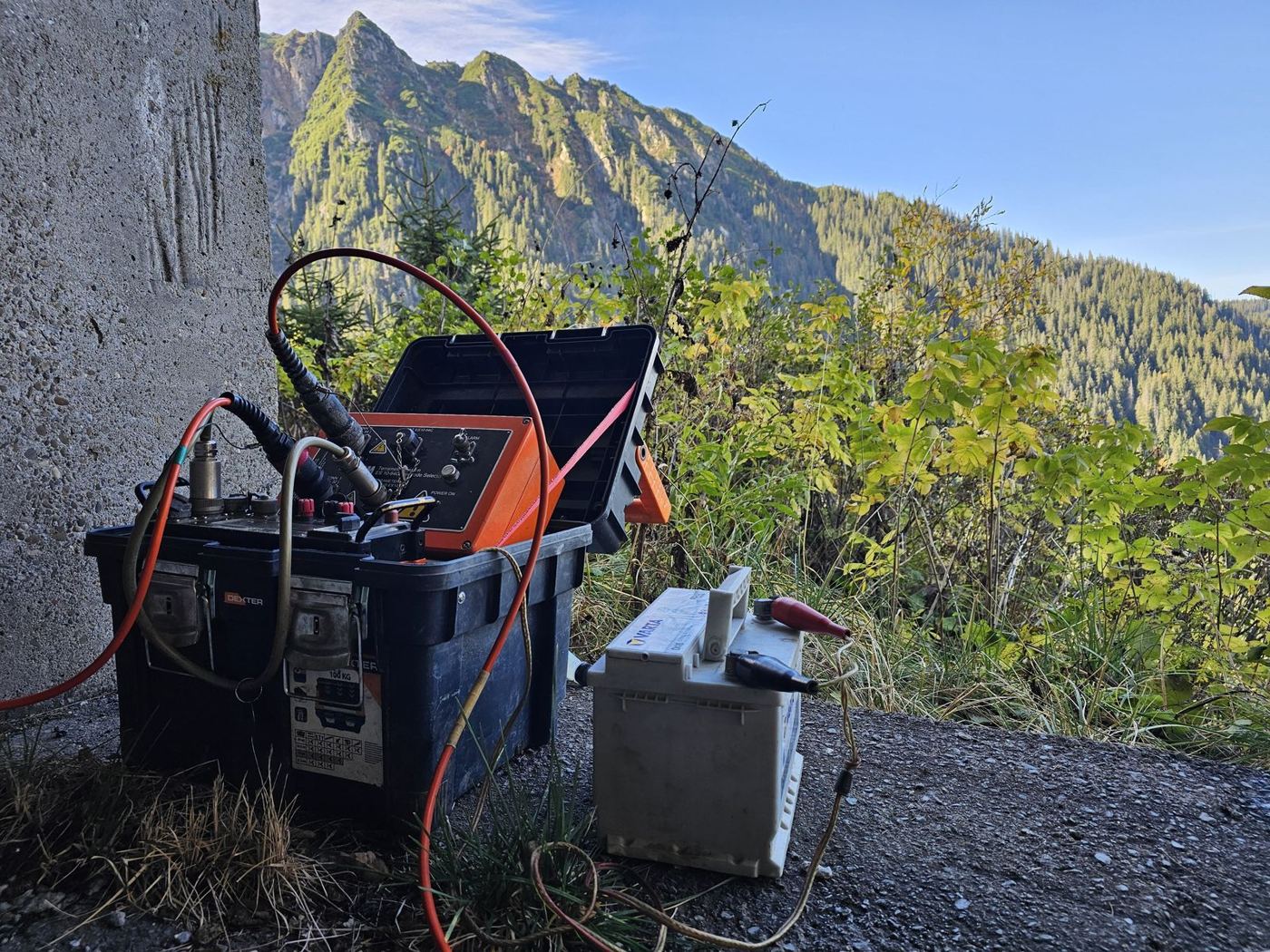
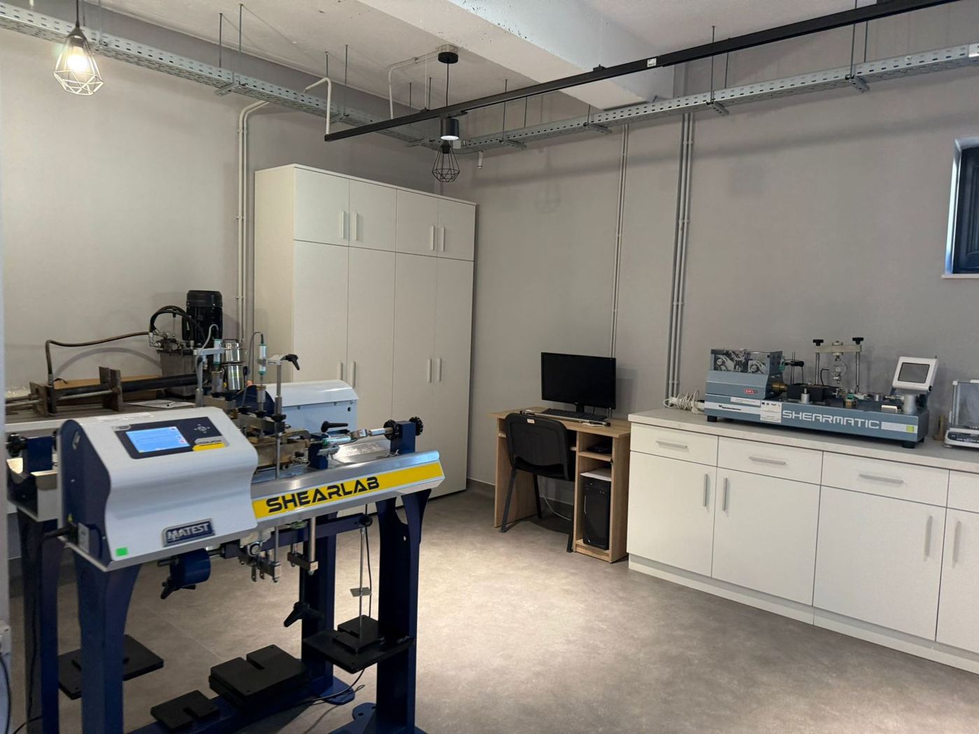
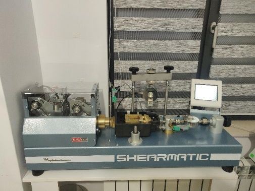
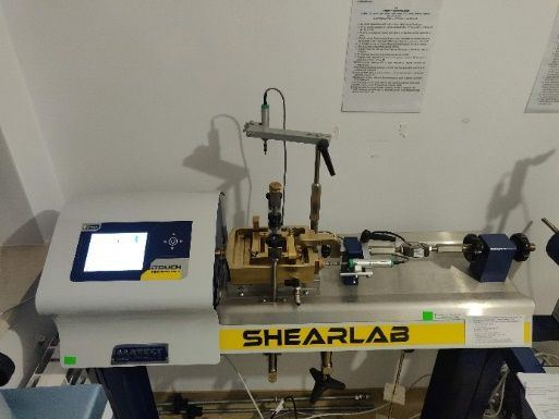
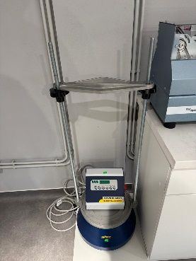
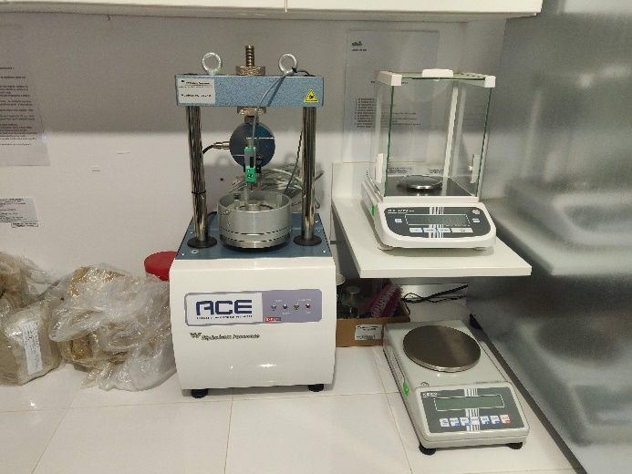
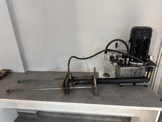
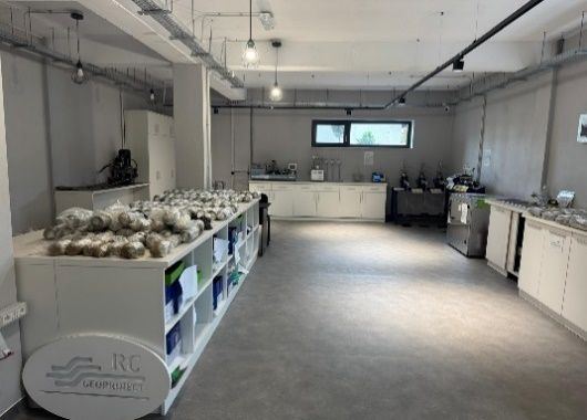
Our construction testing laboratory, GTF (geotechnics and foundation ground) and D profiles, is authorised by ISC and covers about 120 m². We carry out physical and mechanical tests on soil samples within the authorised scope, and correlate the results with the field investigation for the geotechnical analysis.
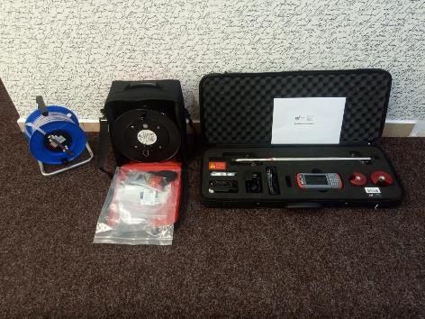
Our inclinometer equipment and piezometer probe track displacement at depth and groundwater level in geotechnical monitoring work.
| Equipment | Use | Qty |
|---|---|---|
| Inclinometer equipment | Measuring displacement at depth | 2 |
| Piezometer probe | Measuring groundwater level | 1 |
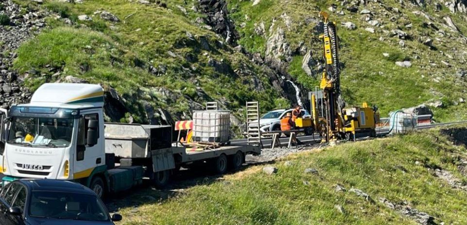
Rig mobilisation is supported by our own logistics, with 18 t and 10 t transport units and utility vans, including to mountain sites where access allows.
| Equipment | Use | Capacity |
|---|---|---|
| Transport unit | Moving the drilling rigs | 18 t |
| Transport unit | Moving the drilling rigs | 10 t |
| Utility vans | Moving crews and equipment | – |
See the services this equipment is used for
To choose the right investigation, discuss your project with us.
Investigation, reports, expert assessment, design and monitoring for infrastructure, buildings, slopes and renewable energy. Each entry states RC GEOPROIECT's contribution and the main technical data of the job.
Some projects are described in general terms to respect client confidentiality.
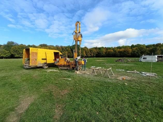
Geotechnical investigation programme for a 9-turbine wind farm site: 20 continuously cored boreholes, 15–40 m deep, Shelby undisturbed sampling, 7 DPH tests and 3 CPTu tests.
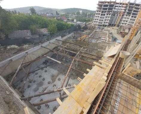
Geotechnical design for a 12.20 m deep excavation supported by 600 mm diaphragm walls and struts. Services included the design of the building's bored piles and inclinometer monitoring.
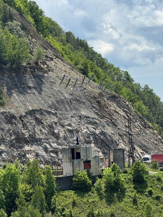
Af technical expertise for a slope affected by rockfall. Anchored mesh on self-drilling bars and flexible rockfall barriers were recommended.
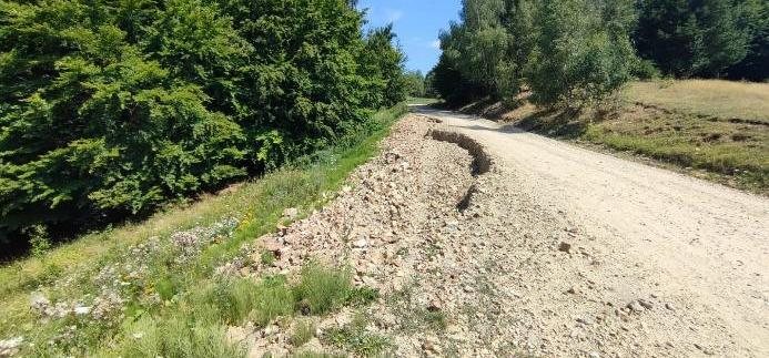
Af technical expertise, geotechnical report and design for stabilising the road embankment. The solution comprises a reinforced concrete raft on bored piles 600 mm in diameter and 15 m long.
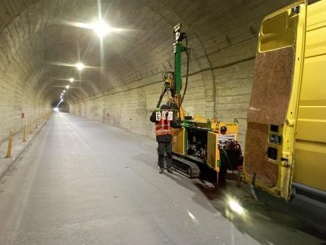
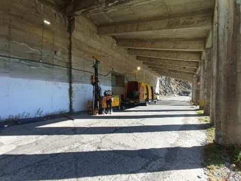
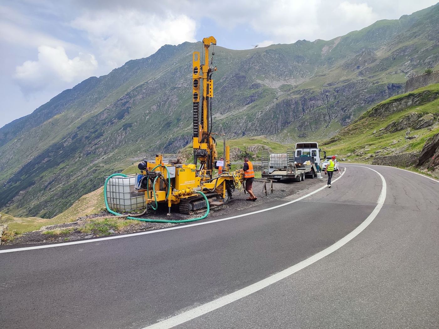
Geotechnical boreholes and tests at bridges and tunnels on DN7C, Transfăgărășan, at high altitude.
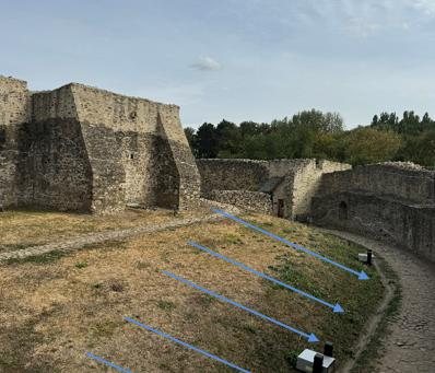
Af technical expertise and foundation assessment to define measures against water infiltration. The document presents drainage, site grading and soakaway well solutions.
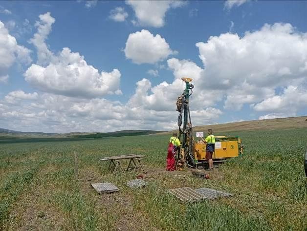
Geotechnical investigation for a 9-turbine wind farm site. The programme included 33 continuously cored boreholes, 20–30 m deep, with Shelby undisturbed sampling.
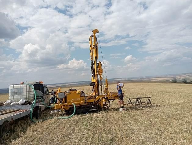
Geotechnical investigation for an 8-turbine wind farm site. The programme included 8 continuously cored boreholes to 40 m and Shelby undisturbed sampling.
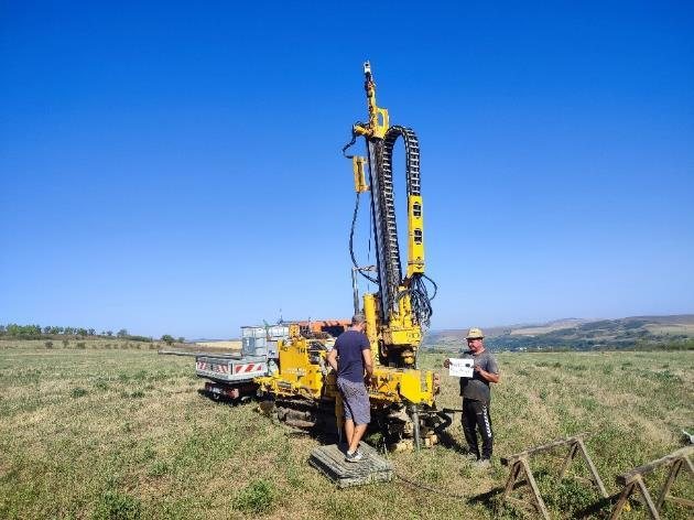
Geotechnical investigation for a 10-turbine wind farm site. The programme included 10 boreholes to 40 m and 20 to 10 m, continuously cored, and 10 CPT tests to 15.90–19.70 m.
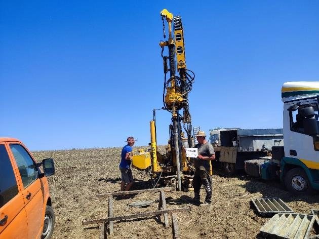
Geotechnical investigation for a 15-turbine wind farm site. The programme included 15 continuously cored boreholes to 40 m and Shelby undisturbed sampling.
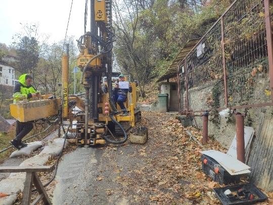
Af technical expertise for a road on a hillside. The document presents solutions with grouted micropiles 200 mm in diameter and 8 m long, and stone facing.
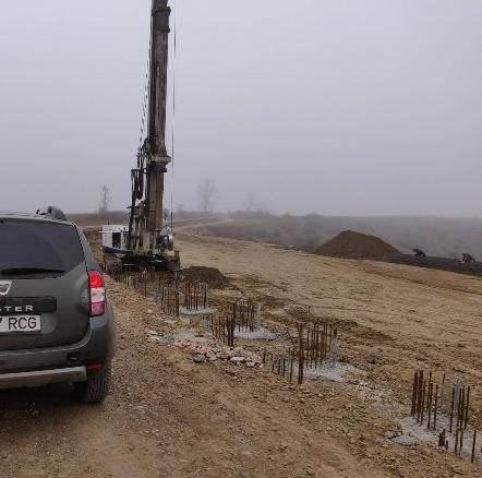
Slope stabilisation design with bored piles 900 mm in diameter and 20 m long, and site support during construction.
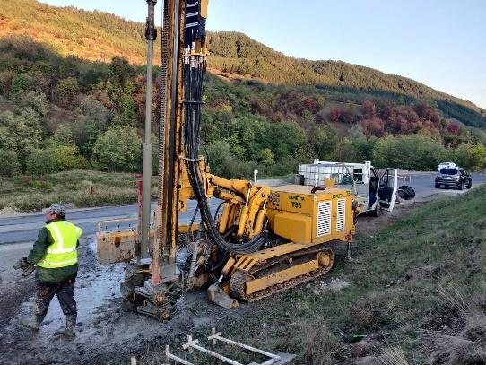
Geotechnical boreholes on sections of DJ 203K and DN 29D affected by landslides.
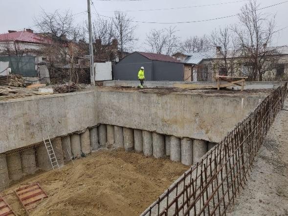
Geotechnical design for a 15.0 m deep excavation, with geotechnical monitoring of the works.
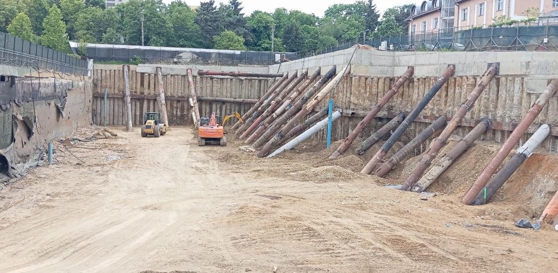
Design of the support system for an excavation about 11 m deep and preparation of the monitoring design.
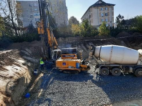
Design for ground improvement with rigid inclusions (GCC) and a granular load transfer platform.
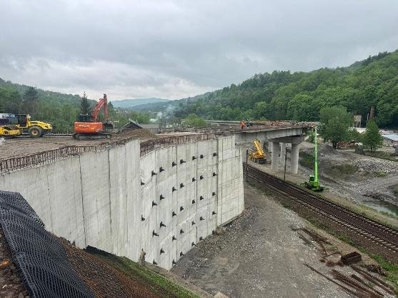
Geotechnical design for a U-shaped retaining structure founded on piles, at a viaduct approach.
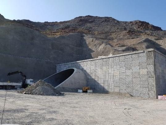
Geotechnical design for a soil-nailed slope at a tunnel portal in Oman.
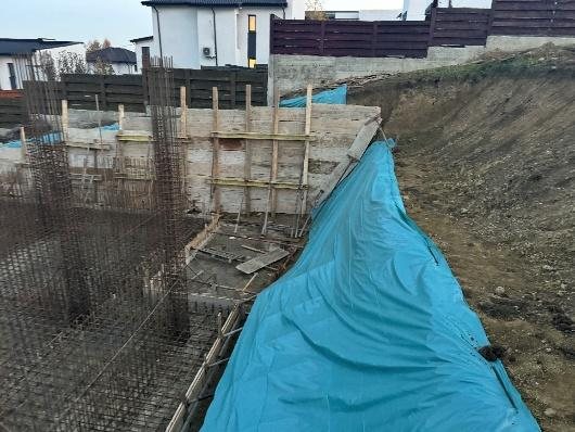
Af technical expertise for stabilising a built-up slope, with inclinometer monitoring.
Send us the site location, a description of the works and the documents available so we can discuss the geotechnical services you need.
Practical explanations of ground investigation, geotechnical reports, foundations and monitoring, along with news from the team.
How the geotechnical category and investigation programme are set, and what information the report provides for structural design.
What landslides, settlement or cracks may indicate, and what information helps the geotechnical assessment of the site and the building.
From installing the casings and planning the readings to interpreting displacement and reporting the results, according to the monitoring design.
Academic training shows in every project
A note of gratitude, 85 years on from FCI Iași.
For us, the 85th anniversary of the Faculty of Civil Engineering and Building Services in Iași is a moment of gratitude to the school where we trained. From bachelor's and master's to doctoral studies, our academic path is closely tied to this faculty and to the professors who guided our first steps in the profession.
Today, through RC GEOPROIECT's work, we carry forward the rigour, responsibility and respect for the profession we learned in our years of study.
On its 85th anniversary, we congratulate the whole academic community of the Faculty of Civil Engineering and Building Services in Iași and thank the professors who helped shape us.
Dr. ing. Daniela Chirilă & Dr. ing. Răzvan Chirilă
Conference organised by the Faculty of Civil Engineering and Building Services, Iași – TUIASI, in partnership with the Romanian Society for Geotechnics and Foundations (SRGF), on the theme “From ground investigation to the design decision: an academic–professional dialogue for safe infrastructure”. RC GEOPROIECT supported the event and gave a talk in the session “The ground does not forgive: lessons from practice”, on the importance of adequate geotechnical investigation and the consequences of ignoring geotechnical risk. Saving on ground investigation can turn out to be the most expensive saving in the whole investment.
Talk given by Dr. Răzvan Chirilă at CON.CENTR.IC, Centre of Excellence in Civil Engineering, 4th edition (2024/2025), organised by the Faculty of Civil Engineering and Building Services, “Gheorghe Asachi” Technical University of Iași. Case study: retaining structure for a deep excavation in an urban area. FAB LAB Iași.
For an initial assessment of your request, send us the site location, the type of works and the project stage. Mention any documents available and your expected timeline, if known.
If you are not sure which service to choose, briefly describe the site situation or the problem you are facing.
What data we receive through this website and what we do with it.
Last updated: 12 November 2026
RC GEOPROIECT SRL, VAT no. RO35197917, Trade Reg. no. J2015001977220, registered office at Str. Preot Gheorghe Petz nr. 8, Butea village, Iași County, Romania, working office at Str. C-tin Langa nr. 16, Miroslava, Iași County. For any question about your data: contact@rcgeoproiect.ro or +40 742 085 262.
Only the data you send us through the contact form: full name, company (optional), e-mail, phone (optional), site location, service requested and description of the works. We use it only to reply to you and, if you ask, to prepare a quote (Art. 6(1)(b) GDPR).
The website uses no cookies, stores nothing in your browser and has no traffic analytics, advertising or tracking tools. Fonts and images are hosted on the website itself.
The website does not keep messages in a database. These providers may process data outside the European Economic Area, with the safeguards in Chapter V GDPR (EU–US Data Privacy Framework or standard contractual clauses).
As long as needed for your request. Messages that do not lead to a contract are deleted within 3 years of the last communication.
You can ask for access to your data, its correction or erasure, restriction of processing, portability, and you can object to processing, by writing to contact@rcgeoproiect.ro. We reply within one month. You may lodge a complaint with the Romanian authority ANSPDCP (www.dataprotection.ro) or with the authority in the EU country where you live.
The WhatsApp and map buttons, and links to other organisations, open websites that have their own privacy policies.